2016 Kaikoura Earthquake Underwater Project

Subtidal benthic community dynamics following earthquake disturbance
The November 2016 Kaikoura earthquake was one of the most complex earthquakes ever recorded. As a result, 130 kms of coastline, was vertically augmented. The degree of uplift ranged from -0.2 m to over 6 m. Within days of this Mw 7.8 earthquake, extreme die-off events were observed in the new and old intertidal regions. To document and follow the natural recovery of subtidal benthic communities, data from 90 semi-permeant 50 m transects were recorded at 10 sites along the Kaikoura coast.
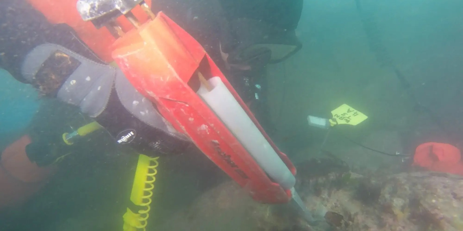
Expanding on this, 24 permanent quadrats where installed at Waipapa Bay (the site with the most extreme uplift evidence). Two 10mm diameter holes were drilled ~60mm deep and ~410mm apart using a Nemo underwater drill. Lengths of 250mm tagged 8mm s/s threaded rod were cemented in each hole using a Fischer dispenser with Fischer injection mortar FIS EM390S Epoxy 390ml Shuttle/Mixers (521246)(93049).
Each permanent quadrat location will provide evidence of recovery for a 1.5 m2 area (six 0.25 m2 photo quadrats). These data will be instrumental in describing the natural recovery dynamics of the subtidal benthic community in Waipapa Bay following extreme earthquake disturbance.
See the video of Cawthron’s Coastal Ecologist, Dr. Emma Newcombe, applying the Fischer injection mortar to a recently drilled hole.

